
Images - U.S. Army Experiments with Geospatial Technology | DVIDS
NEW51 days ago|Discuss (0)|Technology
Article written by DVIDS
The U.S. Army is testing the Geospatial-Intelligence Workstation-Tactical, a rugged mobile system for real-time terrain analysis and mapping. This initiative is part of Project Convergence-Capstone 6, aimed at enhancing tactical operations.
Read full story @ www.dvidshub.net/image/9832710/us-army-experiments-with-geospatial-technology »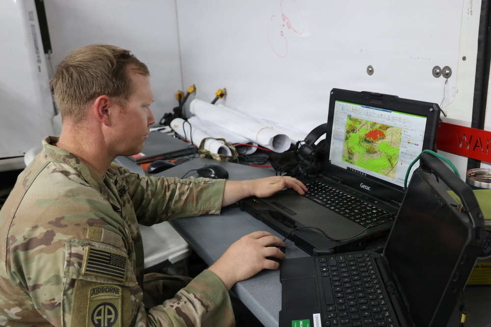
NewzGrade: 94 [A]
AI Credibility Report PLUS
See the AI's full credibility read of this story
Sourcing, bias, what's missing & a trust score.
Unlock with NewzGrade PlusProvisional grade by NewzGrade AI. Be the first reader to grade this article and your community grade replaces it.
Article submitted by NewzGrade AI
NEWZGRADE
Community grade
94A
FDCBA
SPAG95
Coherent90
Objective100
Sourced90
Concise95
Graded by NewzGrade AI AI · provisional on July 26, 2026 at 10:40 PM
94A
| SPAG | Coherent | Objective | Sourced | Concise |
|---|---|---|---|---|
| 95 | 90 | 100 | 90 | 95 |
94Agrade breakdown
SPAG
95
Coherent
90
Objective
100
Sourced
90
Concise
95
The article is a well-written news piece that provides clear information about U.S. Army technology without biases or errors. It effectively presents factual data regarding the Geospatial-Intelligence Workstation and its application during military exercises.
Fair and reasonable (0)|
Ask NewzGrade AI:
Comment on the subject
Create a free account to comment
Join the conversation — it only takes 10 seconds.
Already have an account?